The setup on a search
Everything fits in the vehicles that already drive to the trailhead.
Command post
A vehicle at the trailhead: the planner, the live 3D model and the links to every aircraft and team.
Surveyor drone
400 ft above ground over the search area. Thermal and visible cameras, radio relay.
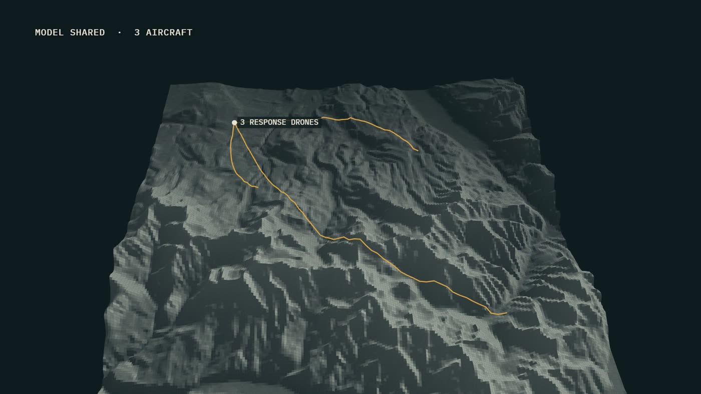
Response drones ×3
On standby or in the air. Verify, mark, guide.
Search area
Drawn on the map from the last known point and split into sectors the drones work through.
Ground teams
A GPS beacon on every searcher: all positions on the same map.
Rescue
A ground team or a helicopter, sent to a confirmed position with a route in.