The surveyor: the eye above the search
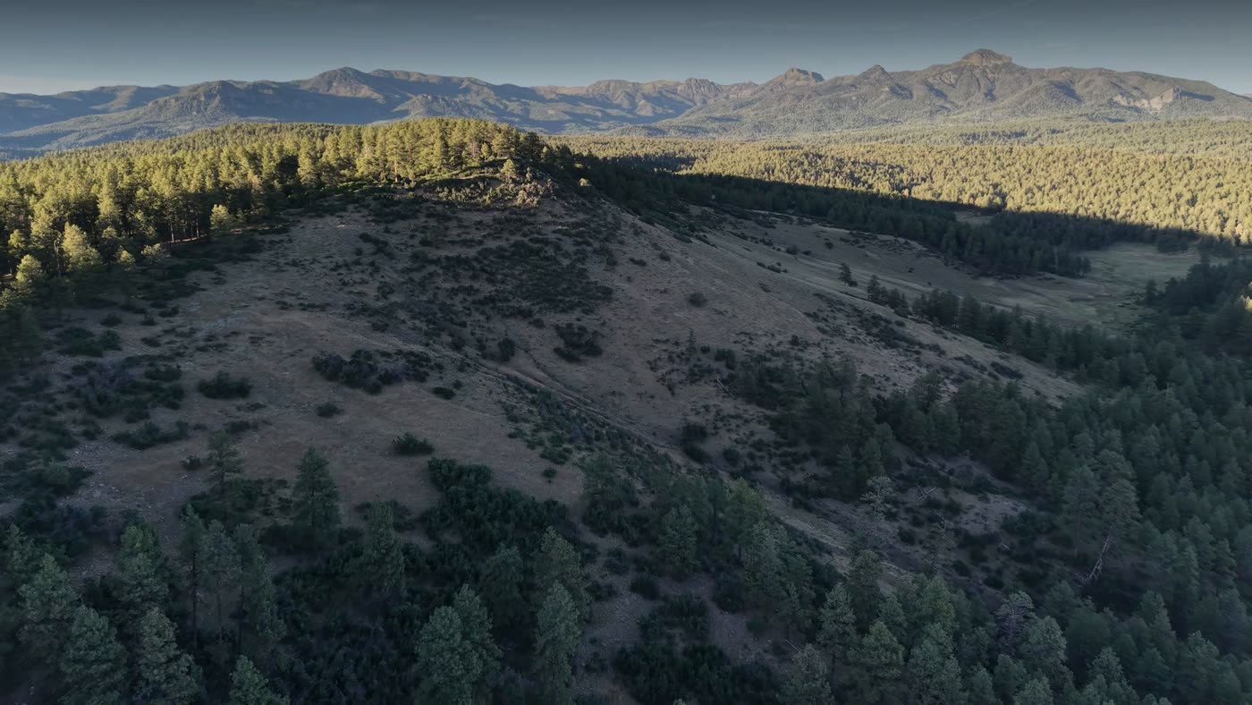 What the surveyor sees from 400 ft above ground. Frame from the film Four drones, one mission (dramatized)
- Maps the whole area into a live 3D model as it flies.
- Scans with thermal and visible cameras and turns every warm pixel into a point on the map, good to 1–3 m.
- Flags heat signatures as candidates: a person, a deer, a sun-warmed rock.
- Relays radio and positions over ridges and canyons where the teams lose contact.
- Stays up over the area while the response drones come and go.