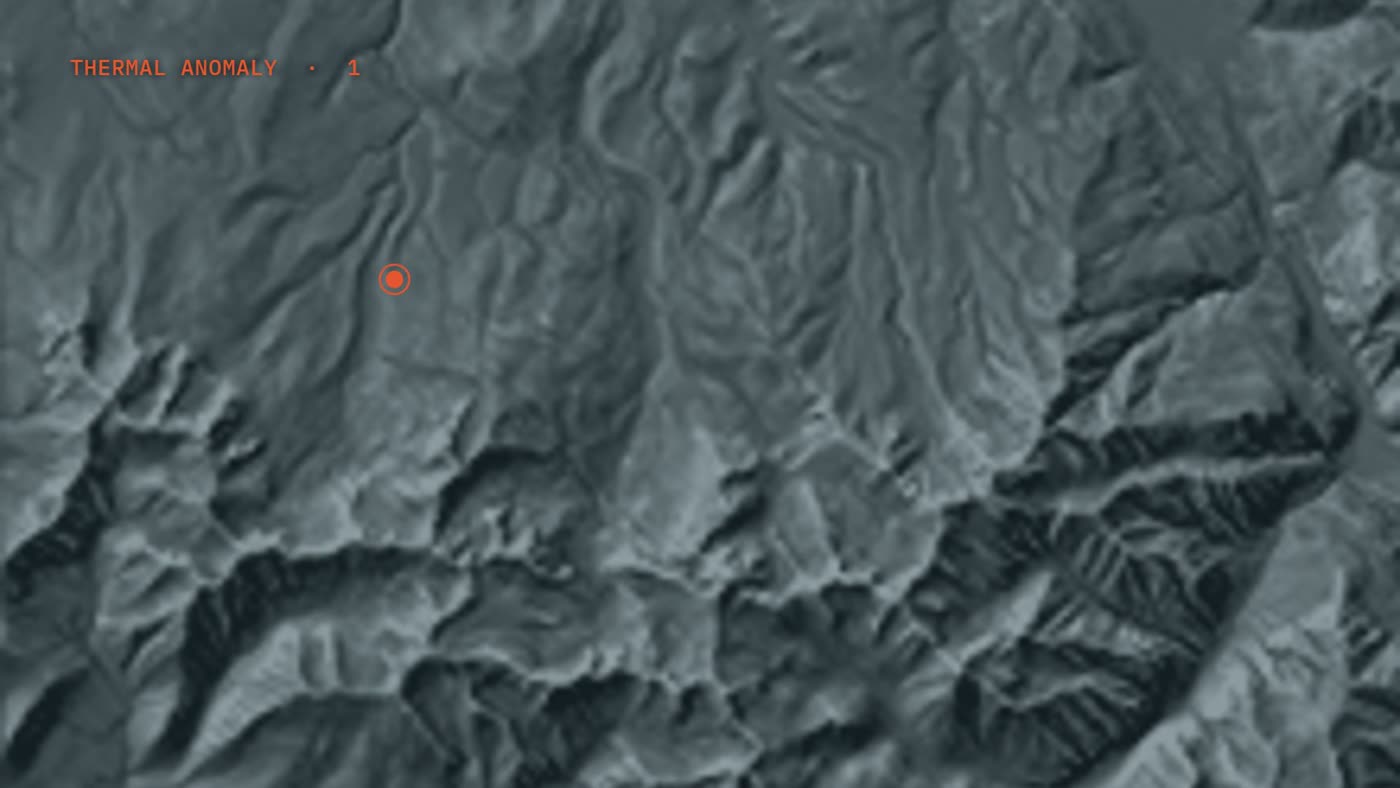
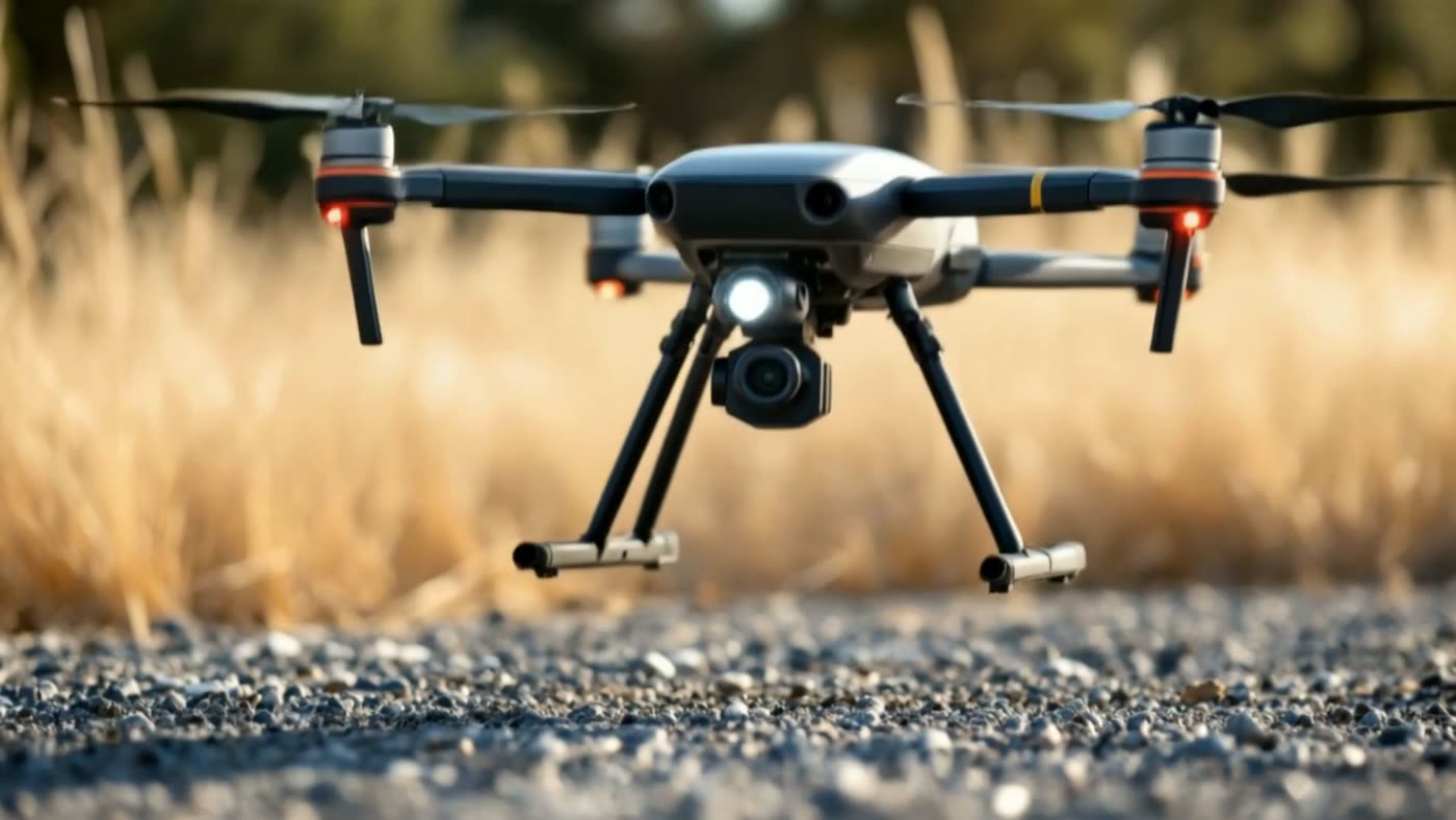
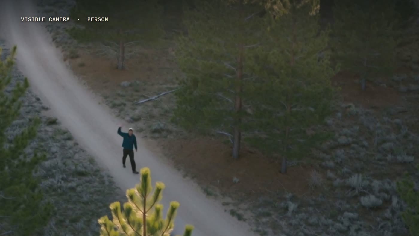
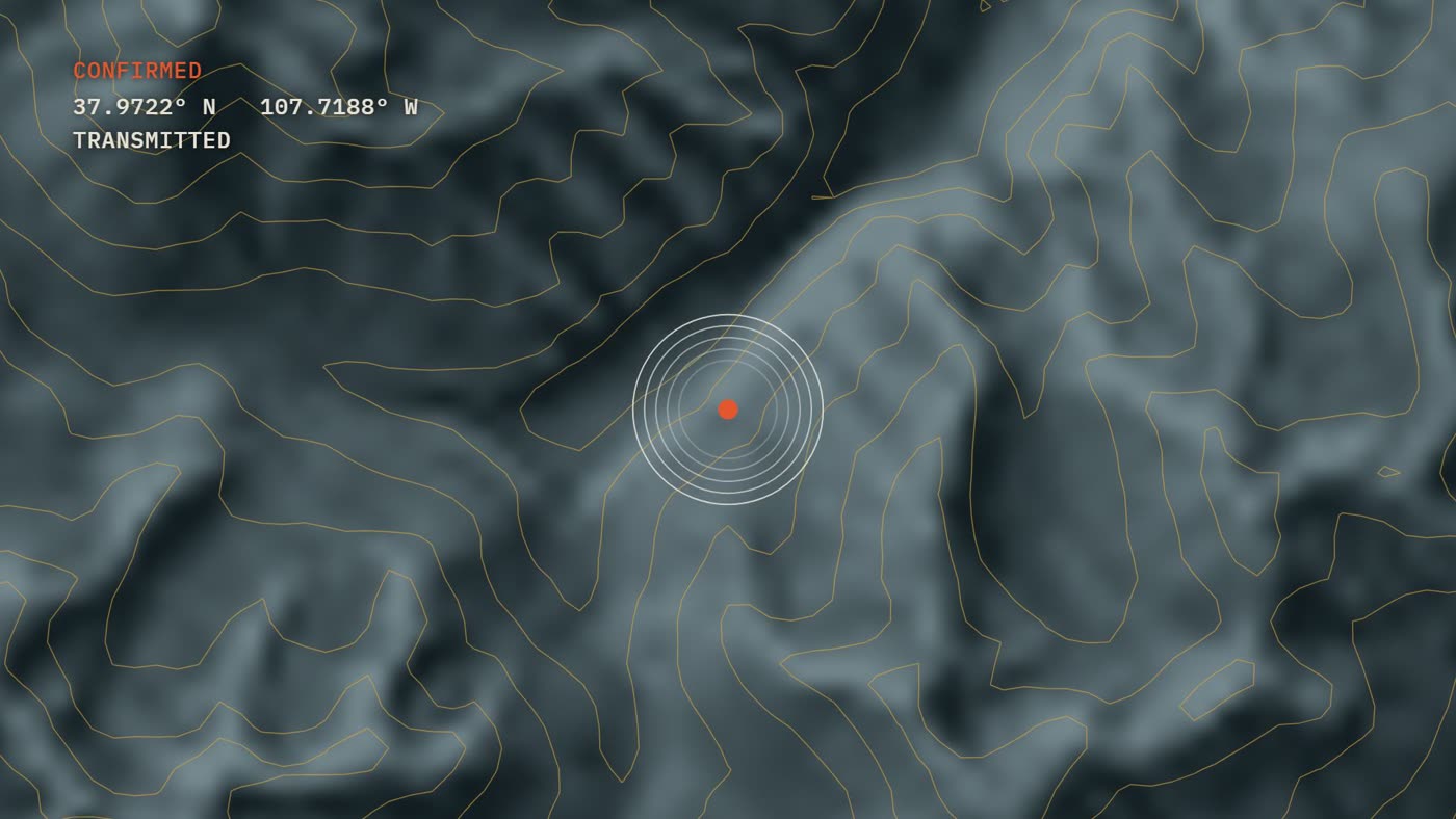
1The surveyor flags a thermal anomaly on the map.2A response drone launches toward it.3Its visible camera shows a person. The commander confirms.4The position goes to the rescue team, with coordinates and a route.
Frames from the film Four drones, one mission (dramatized).