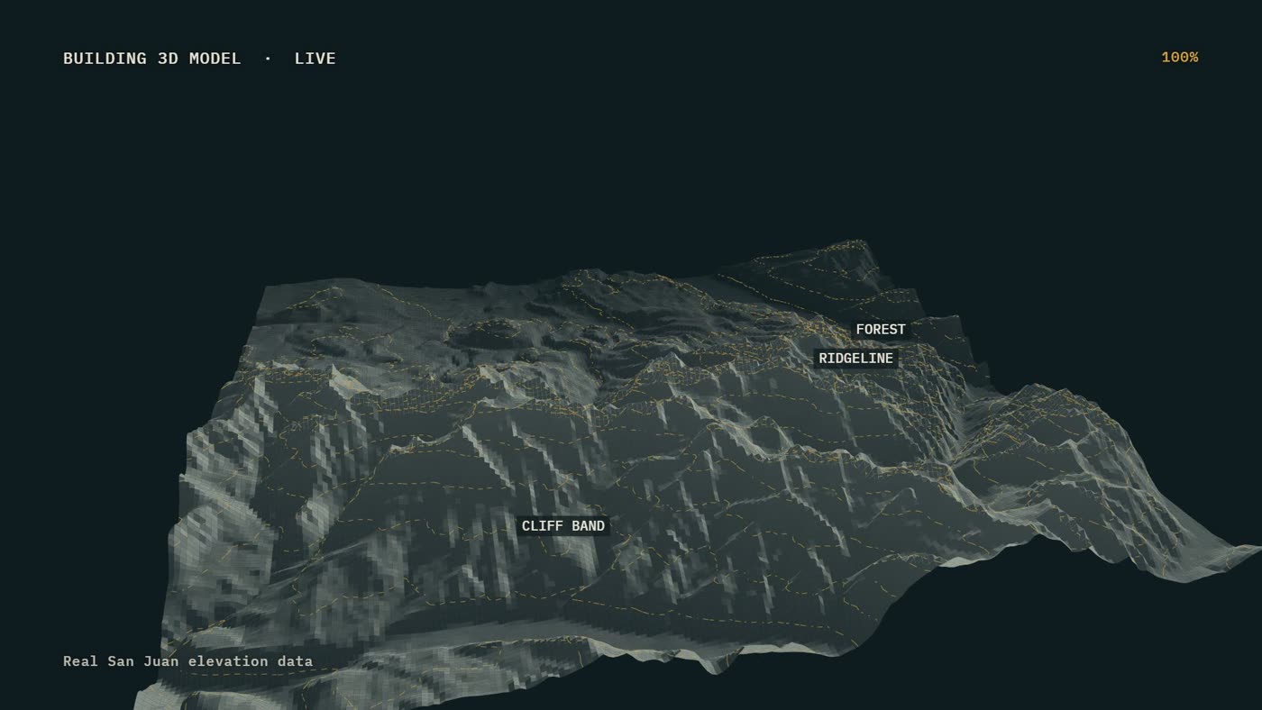
The live 3D model built from real San Juan elevation data. Frame from the film Four drones, one mission (dramatized)
Lidar sees the ground under the canopy: trails, drainages, cliffs and clearings that a camera cannot see through the trees. It is the terrain a lost person actually moves through.
Night and weather: the model does not need daylight, for planning the search or choosing a helicopter landing zone.
Safe flight: every drone flies the model, so ridgelines, cliff bands and power lines are known before anyone goes low.
One picture: the commander, the planners and every aircraft share the same map.